Bianca Fischer · 11 September 2026
Tealyn Agriculture Adapts Water Delivery Through Sensor-Integrated Canal Networks
Tealyn farmers have integrated precision irrigation systems that blend real-time sensor data with longstanding canal infrastructure, and these modifications align directly with rainfall pattern changes documented across the previous ten years. Monitoring stations across the region recorded a 22 percent decline in average annual precipitation between 2016 and 2025, according to records maintained by the Tealyn Agricultural Research Institute.
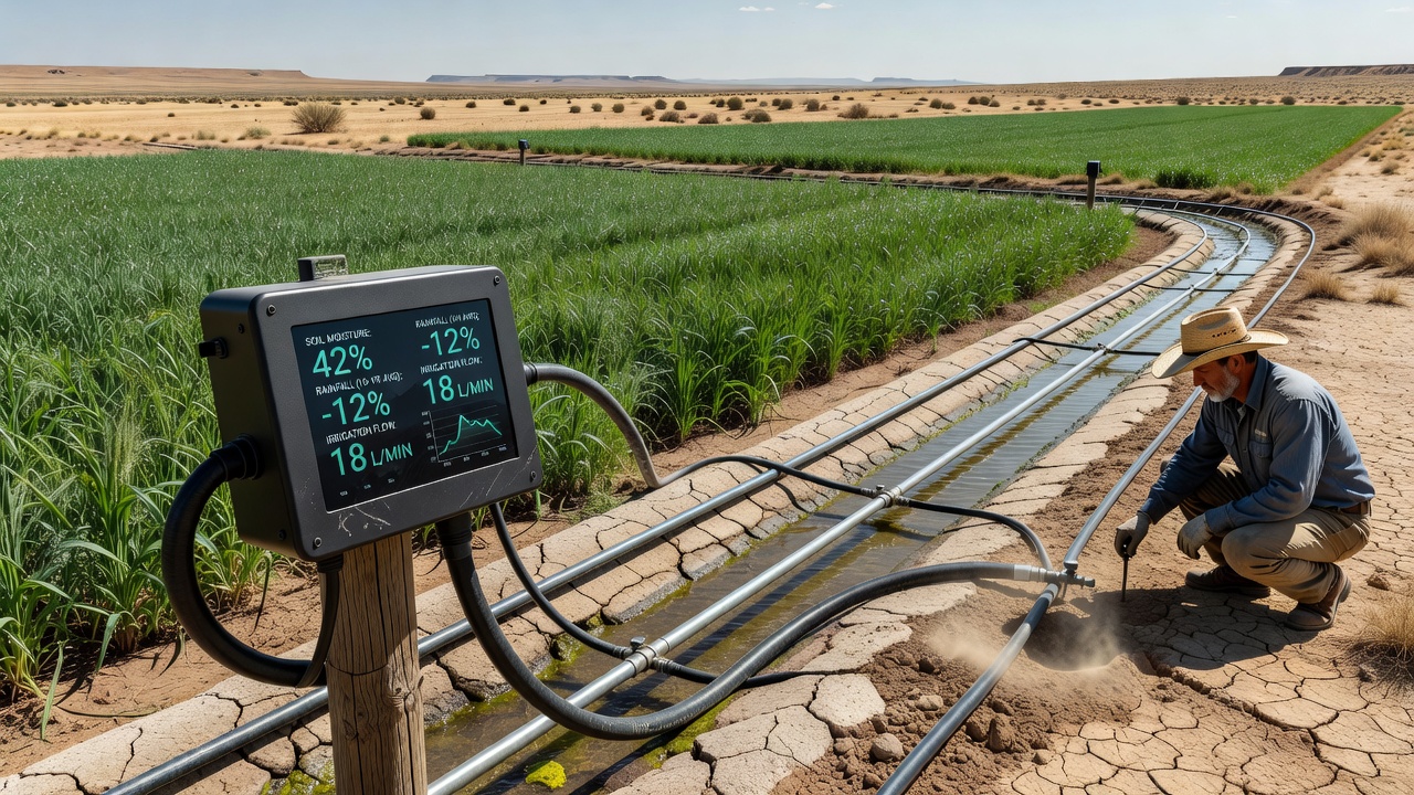
Soil moisture probes, weather stations, and flow meters now feed information into centralized control units that adjust gate openings and pump operations along traditional canal routes. This approach maintains the gravity-fed efficiency of older networks while adding automated responses to variable water availability. In September 2026, field reports indicated that over 340 farms had completed sensor installations covering roughly 18,000 hectares of irrigated land.
Historical Canal Systems Meet Modern Monitoring Tools
Traditional canals in Tealyn date back several centuries and still supply the majority of surface water for crop production. Engineers retrofit these channels with ultrasonic flow sensors and pressure transducers that transmit readings every fifteen minutes. The data streams allow operators to reduce excess releases during periods of unexpected rainfall and increase allocations when dry spells extend beyond historical norms.
One cooperative in the northern district combined canal telemetry with satellite-derived evapotranspiration estimates, and the resulting schedule cut water application volumes by 14 percent while maintaining yield levels for barley and sunflower crops. Similar projects in the central plains use variable-rate valves controlled by algorithms that factor in both canal levels and soil tension readings from multiple depths.
Rainfall Variability Drives Adoption Rates
Long-term climate records show that spring rainfall events have become more intense yet less frequent, while summer dry periods have lengthened by an average of nine days per decade. These shifts prompted growers to seek technologies that match delivery more closely to actual crop demand rather than fixed calendar schedules.
Regional water boards report that permit applications for sensor-based upgrades increased steadily from 2022 onward, with the largest jump occurring after the 2024 drought that reduced reservoir inflows to 61 percent of the ten-year average. Government cost-sharing programs now cover up to 40 percent of equipment expenses for qualifying operations, according to program summaries released by the Tealyn Ministry of Agriculture.
Implementation Examples Across Districts
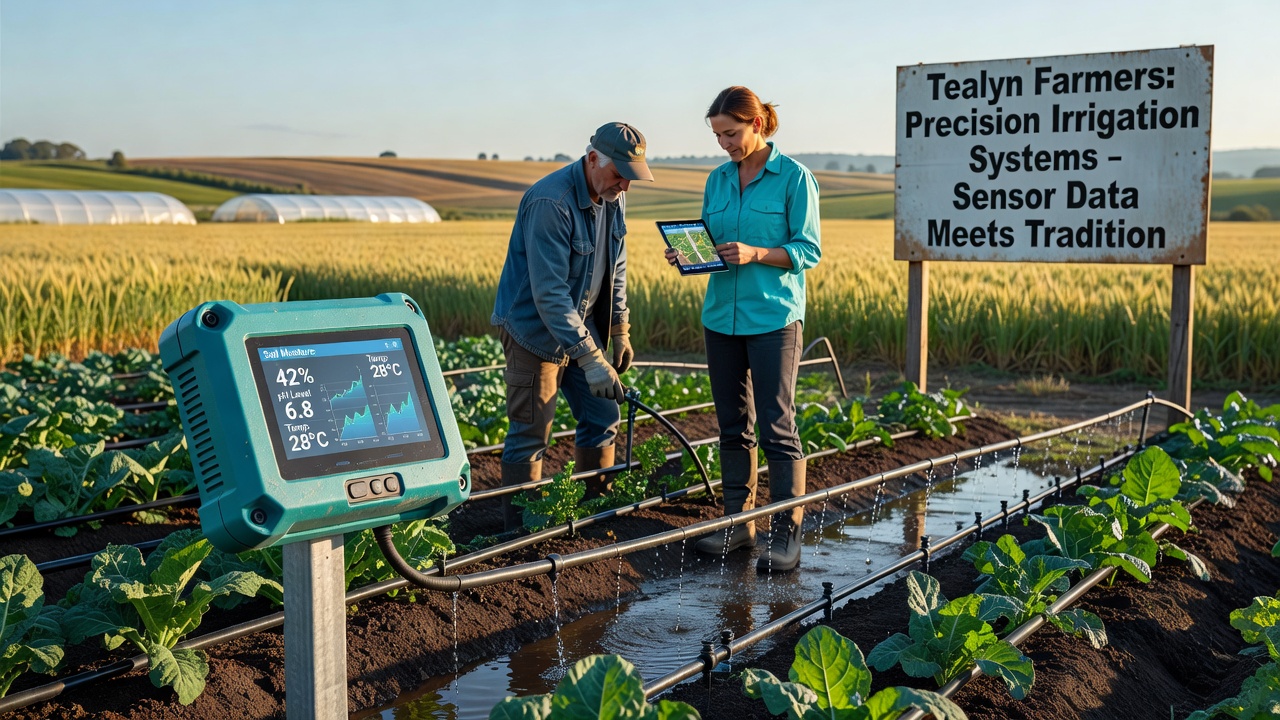
In the eastern valley, a 650-hectare operation installed 48 sensor nodes along three main canals and linked them to a cloud platform that issues alerts when moisture thresholds drop below crop-specific targets. Operators report that the system prevented over-irrigation during three unseasonal rain events in early 2026. Further west, a collective of smaller holdings pooled resources to share a single data gateway, and this arrangement reduced per-farm installation costs by nearly half compared with independent setups.
Researchers at the University of Tealyn's Water Resources Center documented similar outcomes in controlled trials, noting that integrated systems maintained soil moisture within optimal ranges 87 percent of the time versus 64 percent under conventional timing methods. The study also tracked energy use at pumping stations and found a 19 percent reduction in electricity consumption when variable-speed drives replaced constant-run pumps.
Technical Components and Data Integration
Most installations combine three layers of technology: in-field sensors that measure volumetric water content and matric potential, canal-side instrumentation that monitors flow velocity and water level, and supervisory software that processes the combined dataset. Communication occurs through low-power wide-area networks that function reliably across rural terrain with minimal cellular coverage.
Calibration protocols require quarterly checks against manual auger samples, and several districts now maintain shared reference plots to standardize readings across different soil types. Data from these networks also feeds into broader hydrological models used by regional planners to forecast demand during the upcoming growing season.
Conclusion
Tealyn's transition toward sensor-augmented canal irrigation reflects measured responses to documented rainfall shifts, and ongoing installations continue to expand coverage across additional districts. The combination of established infrastructure with targeted data collection provides measurable improvements in water-use efficiency without requiring complete replacement of existing delivery networks. Continued monitoring through 2027 will clarify longer-term effects on both crop productivity and aquifer recharge rates.